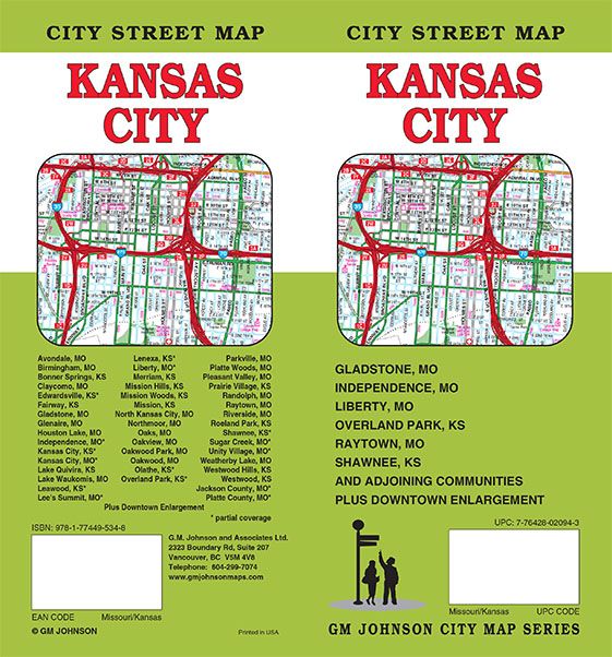
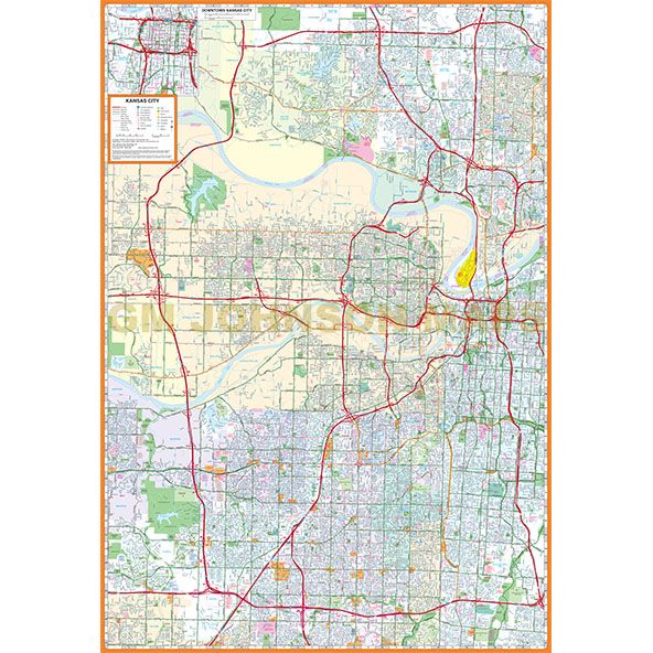
Kansas City, Missouri-Kansas
Kansas City, Missouri-Kansas Street Map
Map Coverage Area
Avondale MO, Birmingham MO, Bonner Springs KS, Claycomo MO, Edwardsville KS*, Fairway KS, Gladstone MO, Glenaire MO, Houston Lake MO, Independence MO*, Kansas City KS*, Kansas City MO*, Lake Quivira KS, Lake Waukomis MO, Leawood KS*, Lee’s Summit MO*, Lenexa KS* Liberty MO*, Merriam KS, Mission Hills KS, Mission KS, North Kansas City MO, Northmoor MO, Oaks MO, Oakview MO, Oakview Park MO, Oakwood MO, Olathe KS*, Overland Park KS*, Parkville MO, Platte Woods MO, Pleasant Valley MO, Prairie Village KS, Randolph MO, Raytown, MO, Riverside MO, Roeland Park KS, Shawnee KS*, Sugar Creek MO*, Unity Village MO*, Weatherby Lake MO, Westwood KS, Jackson County MO*, Platte County MO*, Plus Downtown Enlargement
*Partial Coverage
Publisher
GM JohnsonAuthor
GM JohnsonSize / Page Count
36x45Finish Size
4x9ISBN Code
978-1-77449-543-8UPC Code
7-76428-02094-3Copyright
2024Scale
36K$7.95


