Central & Western United States / Large Print
Central & Western United States / Large Print Map


Map Coverage Area
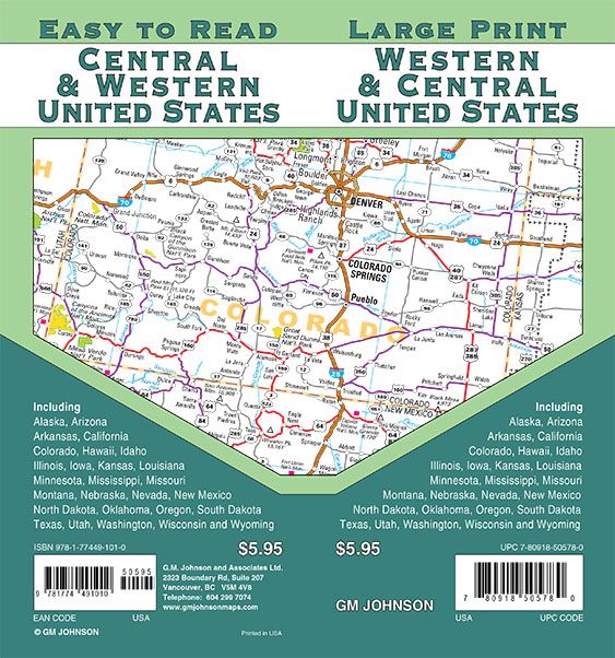
Easy to Read Large Print Highway Map of Central & Western United States.
Including the states of: Alaska, Arizona, Arkansas, California, Colorado, Hawaii, Idaho, Illinois, Iowa, Kansas, Louisiana, Minnesota, Mississippi, Missouri, Montana, Nebraska, Nevada, New Mexico, North Dakota, Oklahoma, Oregon, South Dakota, Texas, Utah, Washington, Wisconsin, Wyoming and portions of Canada and Mexico.
Publisher
GM JohnsonAuthor
GM JohnsonSize / Page Count
27x39Finish Size
4x9ISBN Code
978-1-77449-101-0UPC Code
7-80918-50578-0Copyright
2021Scale
5.3m$5.95
Out of stock