Cleveland, Ohio (Large Sheet)
Cleveland, Ohio (Large Sheet) Street Map
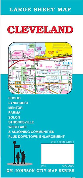

Map Coverage Area
Cuyahoga County, Geauga County, Lake County, Lorain County, Summit County, Bay Village, Beachwood, Bedford Heights, Bentleyville, Berea, Boston Heights, Bratenahl, Brecksville, Broadview Heights, Brook Park, Brooklyn, Brooklyn Heights, Chagrin Falls, Chardon, Cleveland, Cleveland Heights, Cuyahoga Heights, East Cleveland, Eastlake, Euclid, Fairview Park, Garfield Heights, Gates Mills, Glenwillow, Highland Heights, Highland Hills, Hunting Valley, Independence, Kirtland, Kirtland Hills, Lakewood, Linndale, Lyndhurst, Macedonia, Maple Heights, Mayfield, Mayfield Heights, Mentor, Mentor-On-The Lake, Middleburg Heights, Moreland Hills, Newburgh Heights, North Olmsted, North Randall, North Royalton, Northfield, Oakwood, Olmsted Falls, Orange, Painesville, Parma, Parma Heights, Pepper Pike, Richmond Heights, Rocky River, Seven Hills, Shaker Heights, Solon, South Euclid, South Russell, Strongsville, Timberlake, University Heights, Valley View, Waite Hill, Warrensville Heights, Westlake, Wickliffe, Willoughby, Willoughby Hills, Willowick, Woodmere, Plus Downtown Enlargement
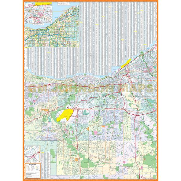
Publisher
GM JohnsonAuthor
GM JohnsonSize / Page Count
36x48Finish Size
4x9ISBN Code
978-1-77449-717-3UPC Code
7-76428-02521-4Copyright
2025Scale
36k$9.95