Iowa / Nebraska, USA
Iowa / Nebraska, USA State Map
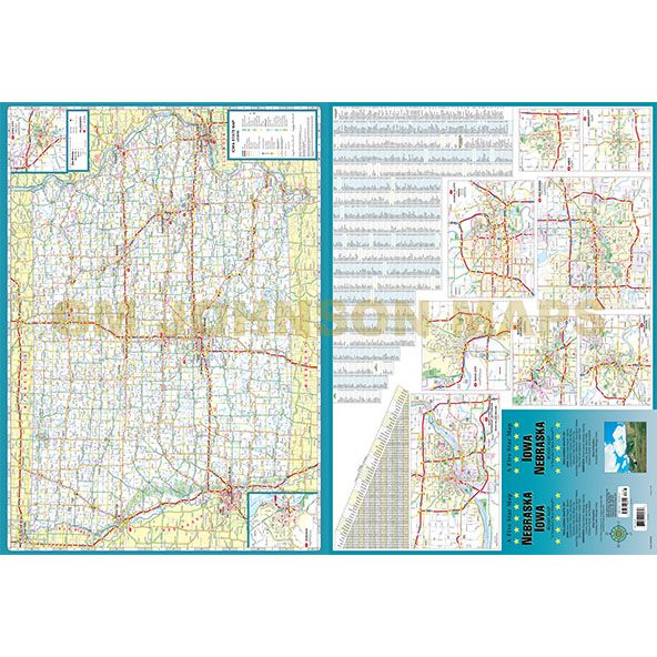
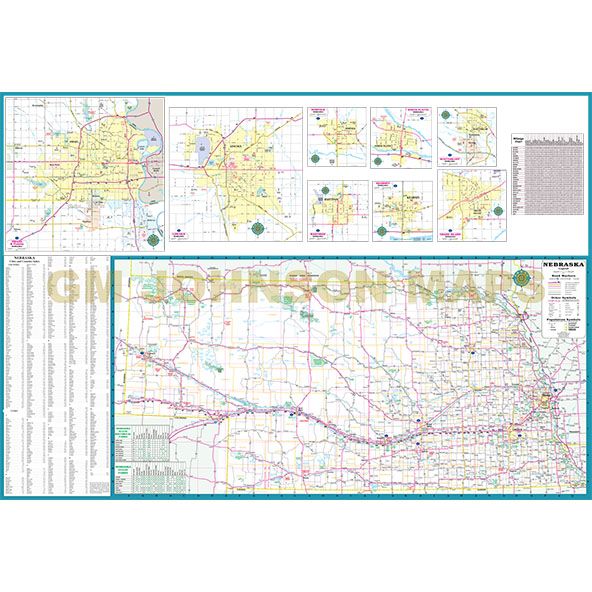
Map Coverage Area
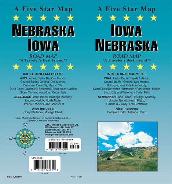
A Five Star Map
Iowa / Nebraska
ROAD MAP
“A Traveler’s Best Friend”
INCLUDING MAPS OF:
IOWA: Ames, Cedar Rapids / Marion, Council Bluffs / Omaha, Des Moines, Dubuque, Iowa City, Mason City, Quad Cities: Davenport / Bettendorf / Rock Island / Midline, Sioux City and Waterloo / Cedar Falls
NEBRASKA: Grand Island, Hastings, Kearney, Lincoln, Norfolk, North Platte, Omaha & Vicinity and Scottsbluff.
Also Includes: Complete Index, Mileage Chart
Cover Photo Courtesy of: M. Forsberg, Nebraska DED, Scottsbluff National Monument
Publisher
Five Star MapsAuthor
Five Star Maps\GM JohnsonSize / Page Count
27x39Finish Size
4x9ISBN Code
978-1-77449-801-9UPC Code
7-76428-02581-8Copyright
2026Scale
800k / 950kDigital version only.
Contact us for information.