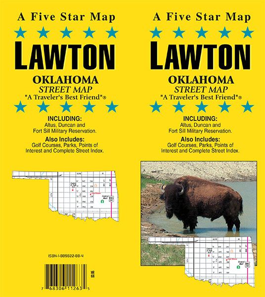
Lawton, Oklahoma
Lawton, Oklahoma Street Map
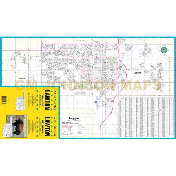
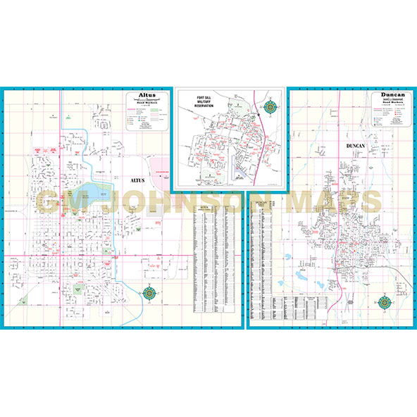
Map Coverage Area
A Five Star Map
LAWTON, OKLAHOMA STREET MAP
“A Traveler’s Best Friend”
INCLUDING:
Altus, Duncan and Fort Sill Military Reservation.
Also Includes:
Golf Courses, Parks, Points of Interest and Complete Street Index.
Publisher
Five Star MapsAuthor
Five Star MapsSize / Page Count
15.8x27.1Finish Size
4x9ISBN Code
1-889822-88-4UPC Code
7-68306-11263-5Copyright
2004Scale
32kMap is out of print.
Contact us for digital version.