Ohio, Ohio
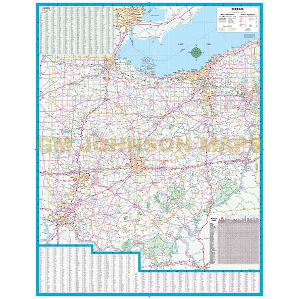
Ohio, Ohio State Map
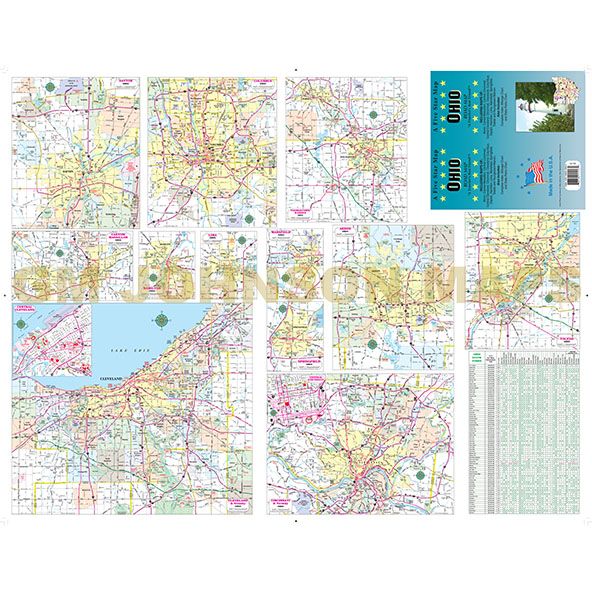
Map Coverage Area
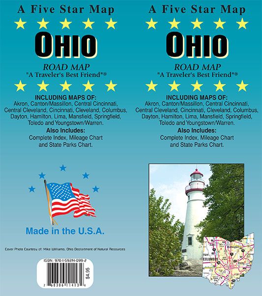
A Five Star Map
OHIO ROAD MAP
“A Traveler’s Best Friend”
INCLUDING MAP INSETS OF:
Akron, Canton/Massillon, Central Cincinnati, Central Cleveland, Cincinnati, Cleveland, Columbus, Dayton, Hamilton, Lima, Mansfield, Springfield, Toledo and Youngstown/Warren.
Also includes:
Complete Index, Mileage Chart and State Parks Chart.
Publisher
Five Star MapsAuthor
Five Star MapsSize / Page Count
26.1x33.8Finish Size
4x9ISBN Code
978-1-59214-099-2UPC Code
7-68306-11413-4Copyright
2017Scale
602kMap is out of print.
Contact us for digital version.