Outer Banks, North Carolina
Outer Banks, North Carolina Street Map
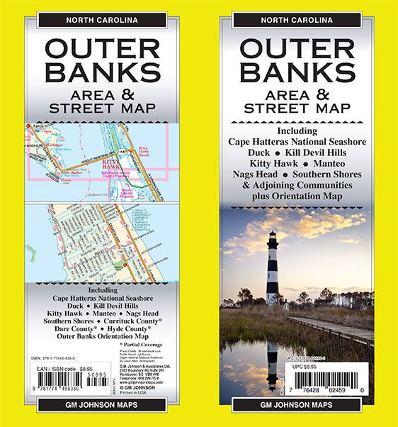


Map Coverage Area
Cape Hatteras National Seashore, Duck, Kill Devil Hills. Kitty Hawk. Manteo, Nags Head, Southern Shores, Currituck County*, Dare County*, Hyde County*, Outer Banks Orientation Map
* Partial Coverage
Photo Credit: Shutterstock.com
Bodie Island Lighthouse
Cape Hatteras National Seashore
By Dave Allen Photography
Publisher
GM JohnsonAuthor
GM JohnsonSize / Page Count
27x39Finish Size
4x9ISBN Code
978-1-77449-635-0UPC Code
7-76428-02459-0Copyright
2025Scale
32k$8.95