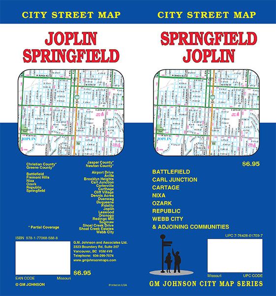
Springfield / Joplin, Missouri
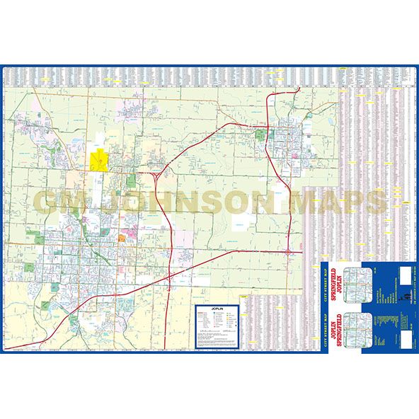
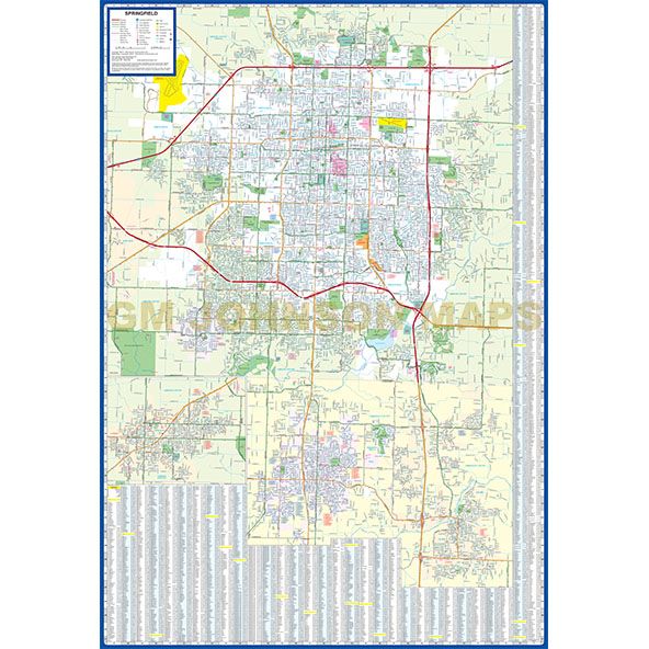
Springfield / Joplin, Missouri Street Map
Map Coverage Area
Battlefield, Fremont Hills, Nixa, Ozark, Republic, Springfield, Airport Drive, Avilla, Brooklyn Heights, Carl Junction, Carterville, Carthage, Cliff Village, Dennis Acres, Duenweg, Duquesne, Fidelity, Joplin, Leawood, Oronogo, Redings Mill, Saginaw, Shoal Creek Drive, Shoal Creek Estates, Webb City, Christian County*, Greene County*, Jasper County*, Newton County* *Partial Coverage
Publisher
GM JohnsonAuthor
GM JohnsonSize / Page Count
27x39Finish Size
4x9ISBN Code
978-1-77068-588-8UPC Code
7-76428-01709-7Copyright
2017Scale
32kMap is out of print.
Contact us for digital version.


