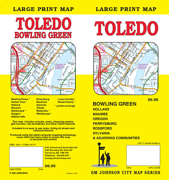
At GM Johnson Maps we are starting to create more large print maps.
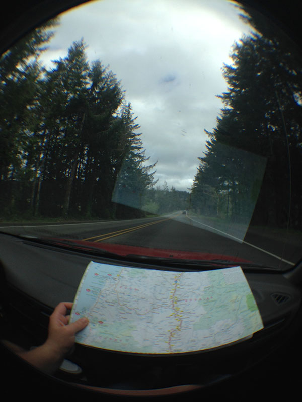
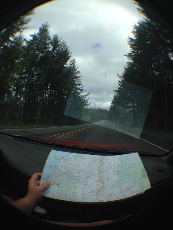
You can see our Washington / Oregon Coast Large Print Map in action (In use by some early 20 year old road trippers in Oregon):

Our Washington and Oregon Coast Map is one of our best sellers, selling more than 170,000 copies since 2009. It features nice write ups on cities and spots all down the coast. In addition we have insets of cities down the coast. Example of Brookings, OR:
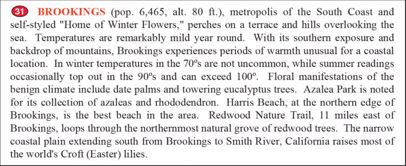
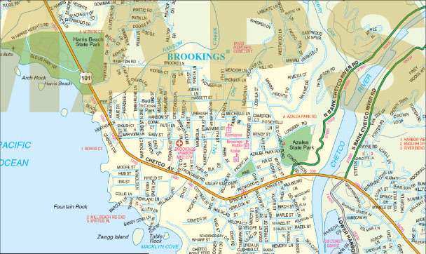
The descriptive text of different areas turns the Washington / Oregon Coast Large Print map into a guide map of the area. Other examples of this are our Indian Country / Four Corners Map and Portland, OR Regional Map.
Also check out our new Toledo / Bowling Green, OH Large Print Map
