Cincinnati Metro, Ohio
Cincinnati Metro, Ohio Street Map
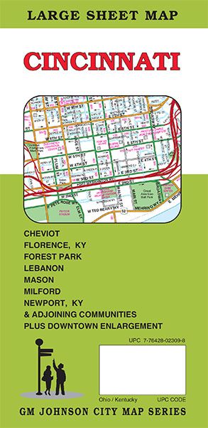

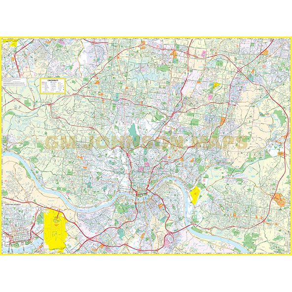
Map Coverage Area
Addyston, Amberley, Amelia, Arlington Heights, Batavia, Bellevue KY, Blue Ash, Bromley KY, Cheviot, Cincinnati, Cleves, Cold Spring KY, Covington KY, Crescent Springs KY, Crestview KY, Crestview Hills KY, Dayton KY, Deer Park Edgewood KY, Elmwood Place, Elsmere KY, Erlanger KY, Evendale, Fairfax, Fairfield, Fairview KY, Florence KY, Forest Park, Fort Mitchell KY, Fort Thomas KY, Fort Wright KY, Glendale, Golf Manor, Greenhills, Highland Heights KY, Independence KY, Kenton Vale KY, Lakeside Park KY, Latonia Lakes KY, Lebanon, Lincoln Heights, Lockland, Loveland, Ludlow KY, Madeira, Maineville, Mariemont, Mason, Melbourne KY, Milford, Monroe, Montgomery, Mount Carmel, Mount Healthy, Mulberry, Newport KY, Newtown, North Bend, North College Hill, Norwood Park Hills KY, Reading, Ryland Heights KY, Sharonville, Silver Grove KY, Silverton, South Lebanon, Southgate KY, Springdale, St. Bernard, Summerside, Taylor Mill KY, Terrace Park, The Village of Indian Hill, Union KY, Villa Hills KY, Wilder KY, Withamsville, Woodlawn KY, Wyoming, Boone County KY, Butler County OH, Clermont County OH, Hamilton County OH, Kenton County KY, Warren County OH, Plus Downtown Cincinnati Enlargement
Publisher
GM JohnsonAuthor
GM JohnsonSize / Page Count
36x49Finish Size
4x9ISBN Code
978-1-77449-716-6UPC Code
7-76428-02309-8Copyright
2025Scale
36k$8.95