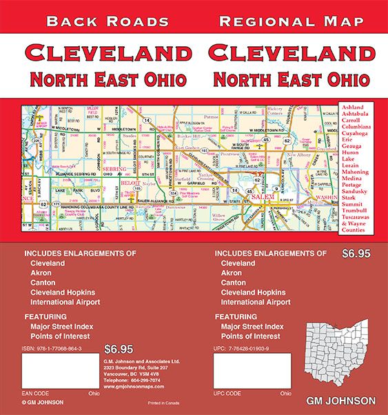
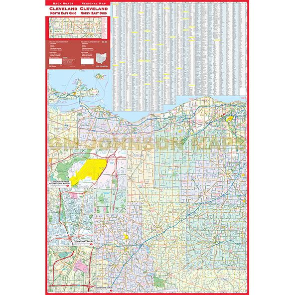
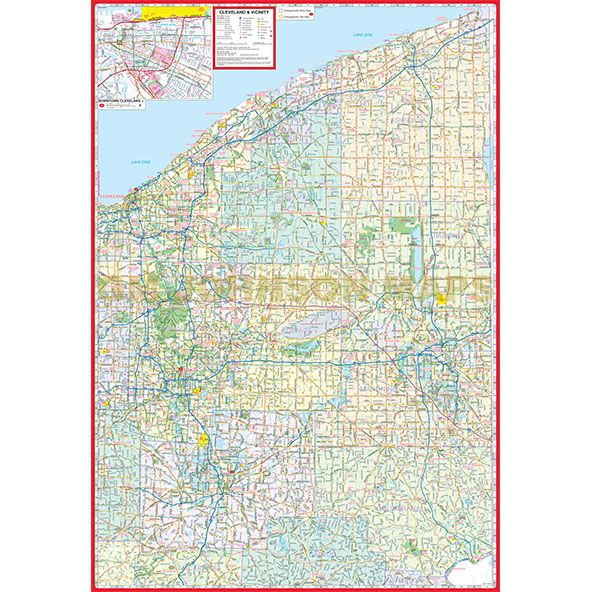
Cleveland and Northeast Ohio, Ohio
Cleveland and Northeast Ohio, Ohio Regional Map
Map Coverage Area
Tuscarawas County, Wayne County, Ashland County, Stark County, Summit County, Trumbull County, Ashtabula County, Carroll County, Columbiana County, Cuyahoga County, Erie County, Geauga County, Huron County, Lake County, Lorain County, Mahoning County, Medina County, Portage County, Sandusky County
Publisher
GM JohnsonAuthor
GM JohnsonSize / Page Count
27x39Finish Size
4x9ISBN Code
978-1-77068-864-3UPC Code
7-76428-01903-9Copyright
2019Scale
160k$6.95


