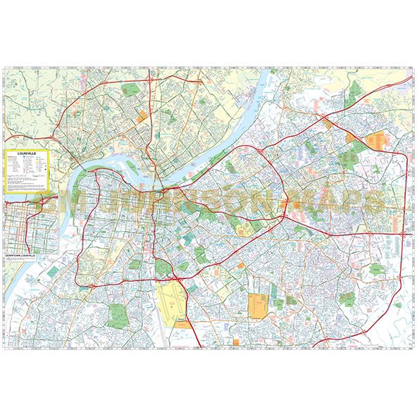
Louisville, Kentucky
Louisville, Kentucky Street Map

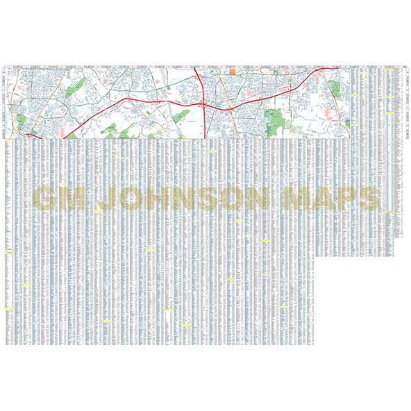
Map Coverage Area
Anchorage, Audubon Park, Bancroft, Barbourmeade, Beechwood Village, Bellewood, Bellemeade, Browsboro Farm, Briarwood, Blue Ridge Manor, Broeck Pointe, Brownsboro Village, Clarksville, Coldstream, Creekside, Crossgate, Douglass Hills, Fincastle, Forest Hills, Glenview, Glenview Hills, Glenview Manor, Goose Creek, Graymoor-Devondale, Green Spring, Heritage Creek, Hickory Hill, Hills And Dales, Hollow Creek, Houston Acres, Hurstbourne Acres, Hurstbourne, Indian Hills, Jeffersonville, Jeffersontown, Kingsley, Langdon Place, Lincolnshire, Louisville, Lyndon, Lynnview, Manor Creek, Maryhill Estates, Meadowview Estates, Meadowbrook Farm, Meadow Vale, Middletown, Moorland, Mockingbird Valley, Murray Hill, New Albany, Norbourne Estates, Northfield, Norwood, Old Brownsboro Place, Orchard Grass Hills, Parkway Village, Plantation, Poplar Hills, Prospect, Richlawn, Riverwood, Rolling Fields, Rolling Hills, Seneca Gardens, Shively, South Park View, Spring Mill, Spring Valley, Strathmoor Manor, St. Matthews, St. Regis Park,
Publisher
Rand McNallyAuthor
GM JohnsonSize / Page Count
27x39Finish Size
4x9ISBN Code
978-0-528-00879-5UPC Code
0-70609-00879-0Copyright
2020Scale
32k$6.99