CANADIAN OPPORTUNITY:
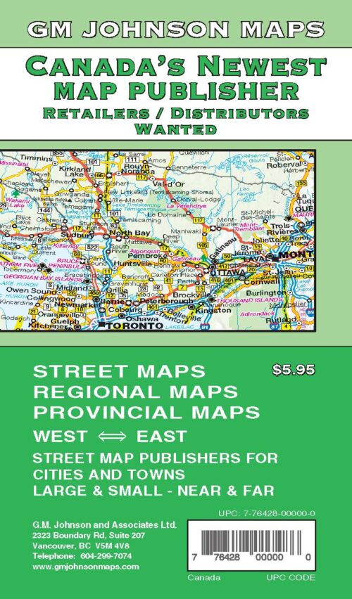
In early May 2026, the largest map publisher in Canada called “Map Art” declared bankruptcy. In 2018 we rolled out a complete line of provincial and city maps for Canada. Initially our customers were the Auto Clubs of Canada and United States. We then began to approach others in Canada and the USA to distribute these maps. We attended a few trade shows for convenience stores and book stores back then to get a larger distribution network in place for our maps in Canada. The previous image was a poster we used to solicit new customers in 2018 at the trade shows.
The rest of this article consists of:
- The Map Company Story.
- Route 66 100th Anniversary.
- Happy New Year 2026.
- Canadian Opportunity.
- State and Provincial maps.
- Canada and USA Sectional maps.
- California Sectional maps.
- New city maps.
- New regional maps.
- Closing comments.
1. The Map Company Acquisition:
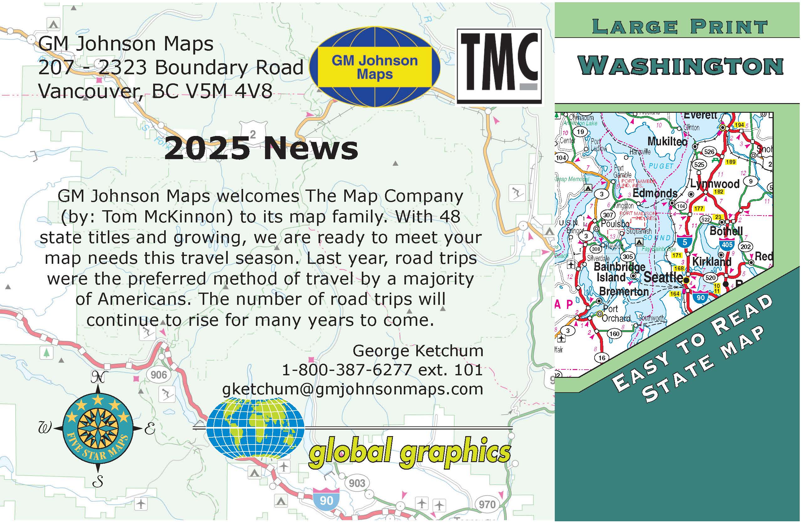 On Oct. 11, 2024 GM Johnson acquires the assets of “The Map Company” from Tom McKinnon of Tacoma Washington. The Map Company publishes and wholesales road maps to over 300 locations in Washington, Oregon and California.
In August of 2024 Tom McKinnon owner of The Map Company (TMC) approached Clint Johnson to take over his business. Tom had decided to retire. The company was originally based out of Port Townsend WA on the Olympic Peninsula. A number of years ago Tom moved to Tacoma WA.
Tom has 5 maps of his own that we have taken over:
- Olympic Peninsula, GM Johnson (GMJ) designed part of this map for him;
- Mount Rainer, GMJ maps again designed part of this map for him;
- Washington State;
- Washington State Wineries;
- Oregon State Wineries.
The rest of the maps he sold to his customers were purchased from us and other publishers.
The Map Company Story (TMC) background
Tom McKinnon began the company in 1998 in Port Townsend Washington. Guy Johnson met Tom in the early 2000’s. Tom began buying our maps of Washington State that we initially developed for AAA, for example: Whidbey Island map, Port Angeles / Aberdeen / Hoquiam / Port Townsend / Sequim map, Skagit County, Kitsap County / Bremerton /Bainbridge Island map, etc.
During this time GM Johnson and Tom worked together on some of The Map Company own titles.
Washington State Easy Fold Map: We, GM Johnson helped Tom on providing the cartography for this map. The map distributed in over 250 locations in Washington State, including Washington State Chambers and Visitor Information Centers. Out of Print and is replaced by GM Johnson Large Print Washington State Map.
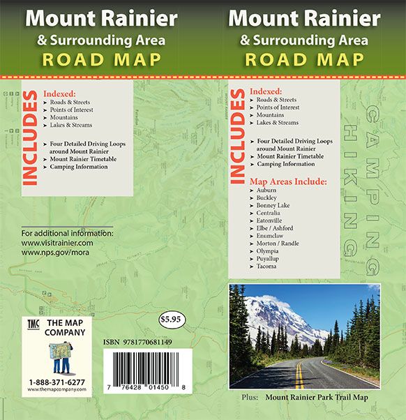
Mount Rainier Map: Again, GM Johnson provided some of the cartography for this map.
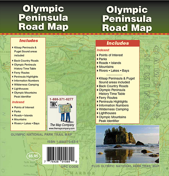
Olympic Peninsula Road Map: Again GM Johnson provided some of the cartography for this map. The Olympic Peninsula map features detailed road maps of the Peninsula. The map includes an up-close hiking map of Olympic National Park.
The “The Map Company” Oregon Winery Map and the Washington Winery Map are out of print.
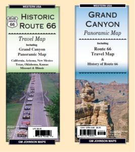
2. Route 66-100th Anniversary in 2026:
GM Johnson Maps has 2 maps that cover Route 66. Get your kicks on Route 66.
The following are 3 previous “News” posting that Global Graphics Maps posted a few years ago.
“6 Iconic Restaurants Along Route U.S. 66” posted in February 2018.
“U.S. Route 66 – Main Street of America Part 1” posted in September 15, 2016, part 1.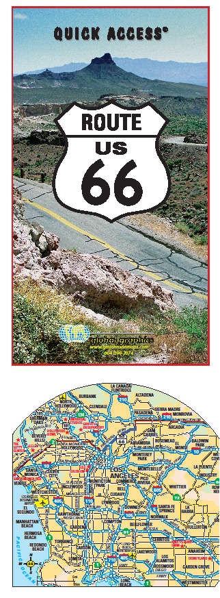
“U.S. Route 66 – Main Street of America Part 2” posted in September 29, 2016, part 2.
3. Happy New Year 2026:
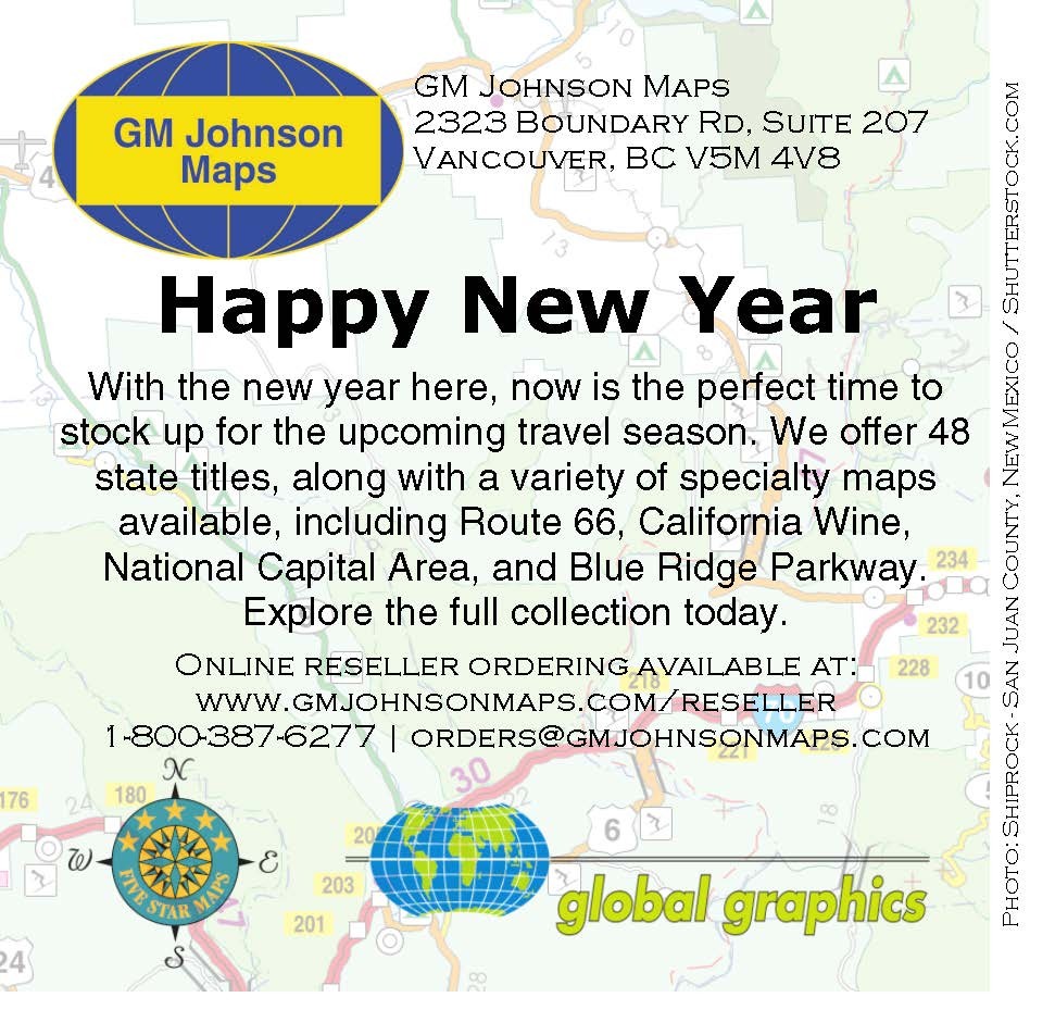
From San Diego CA to Bangor ME, Anchorage AK to Key West FL and Victoria BC to Atlantic Canada and most places in between, we probably have a map for you.
4. Canadian Opportunity:
If you are in need of Canadian maps GM Johnson is the place to get them.
The following link came from our August 15, 2018 “News” posting.
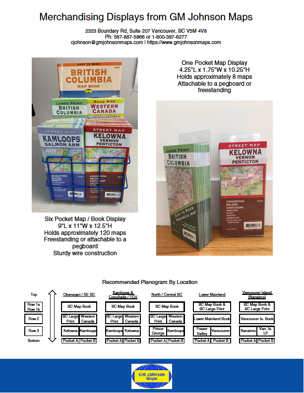
The next image was designed in 2020 offering merchandising ideas for the British Columbia market.
Next is a typical GM Johnson Maps “Canadian Provincial Sales Flyer” from January 2018.
Ontario Map Series Flyer (GM Johnson)
5. State and Provincial Maps:
Since our last news at the end of 2023, we have developed the following new map titles. We still publish Large Print editions of individual State and Provinces. Our state maps have GM Johnson, Global Graphics and Five Star Map covers. In the past few years we have combined states and provinces together as an alternative to just one state or province per map.
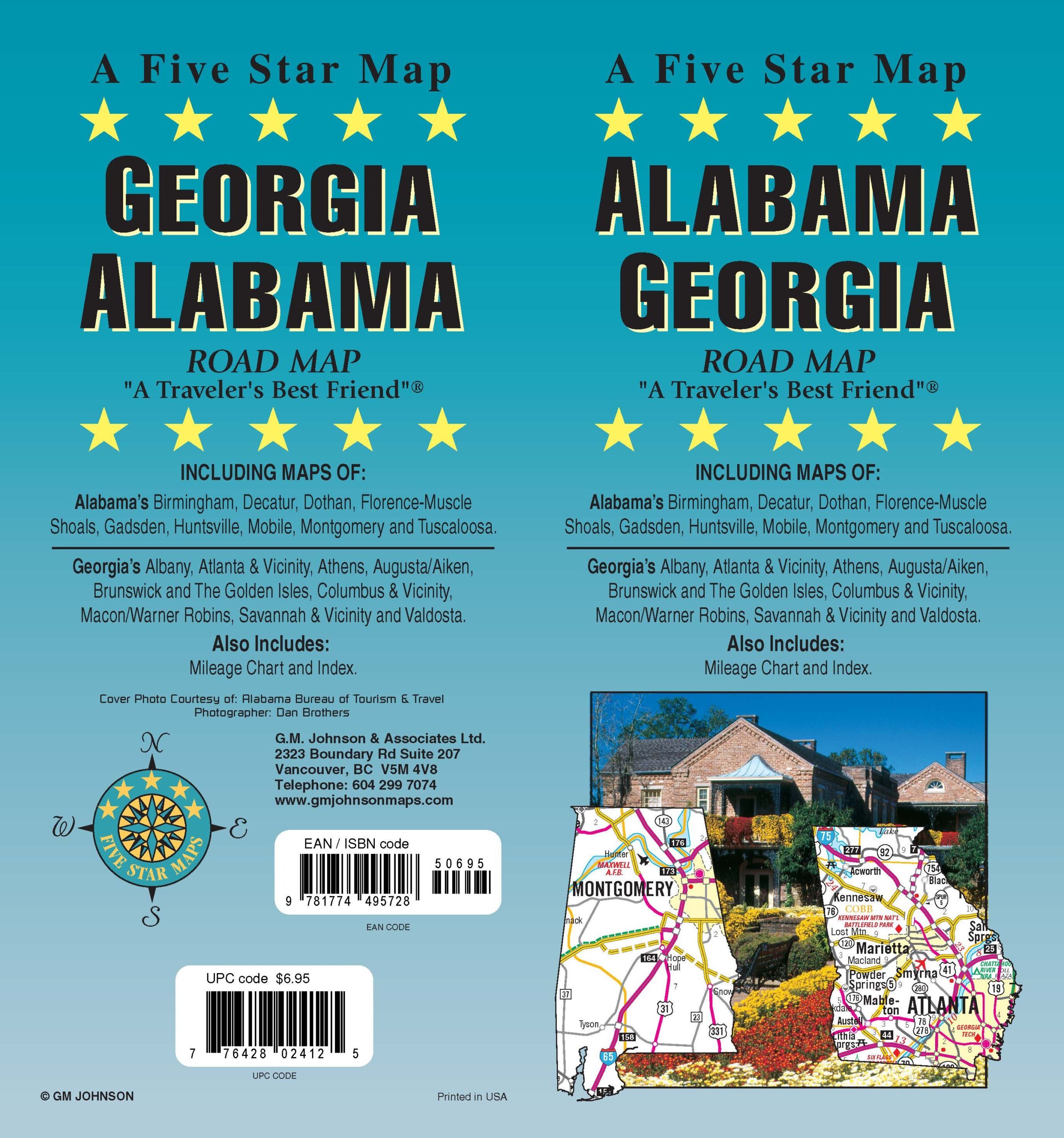
Alabama / Georgia, USA State Map
Arkansas / Oklahoma, USA State Map
Arizona \ New Mexico, USA State Map
Colorado \ Wyoming USA State Map
Maryland / Delaware, USA State Map
Delaware / Maryland / Virginia, USA State Map
Illinois / Indiana, USA State Map
Iowa / Nebraska, USA State Map
Kentucky / Tennessee State Map
Louisiana / Mississippi, USA State Map
Manitoba Saskatchewan Canada Province Map (in progress)
New Jersey / Pennsylvania USA State Map (in progress)
New Jersey USA State Map (in progress)
Ohio / West Virginia, USA State Map
6. Canada and USA Sectional maps.
We have published the Western States & Provinces and Northwestern States & Provinces in this group of maps. The remaining 5 are available digitally. 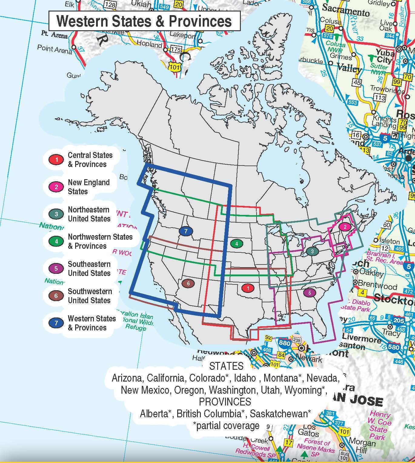
The following are the titles of these sectional maps.
Central States & Provinces, USA Sectional Map (Great Plains)
Northeastern United States / East Central Canada, USA Sectional Map (The Great Lakes to the Atlantic Ocean)
Northwestern States & Provinces, USA-Canada Sectional Map (The Midwest to the Pacific Northwest)
Southeastern USA Sectional Map (The Mississippi to the Atlantic)
Southwestern United States , USA Sectional Map(The Gulf to the Pacific)
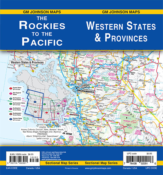
Western States & Provinces, USA Sectional Map (The Rockies to the Pacific)
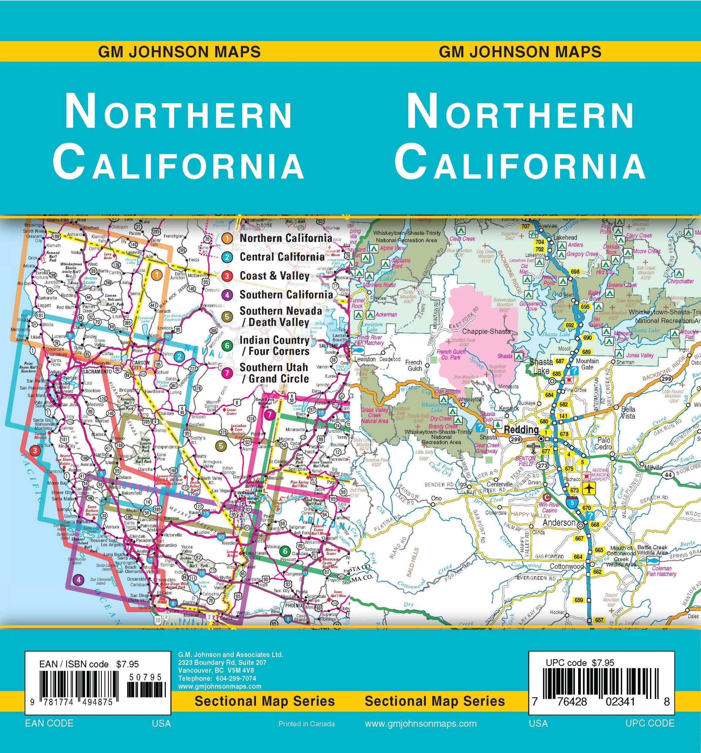
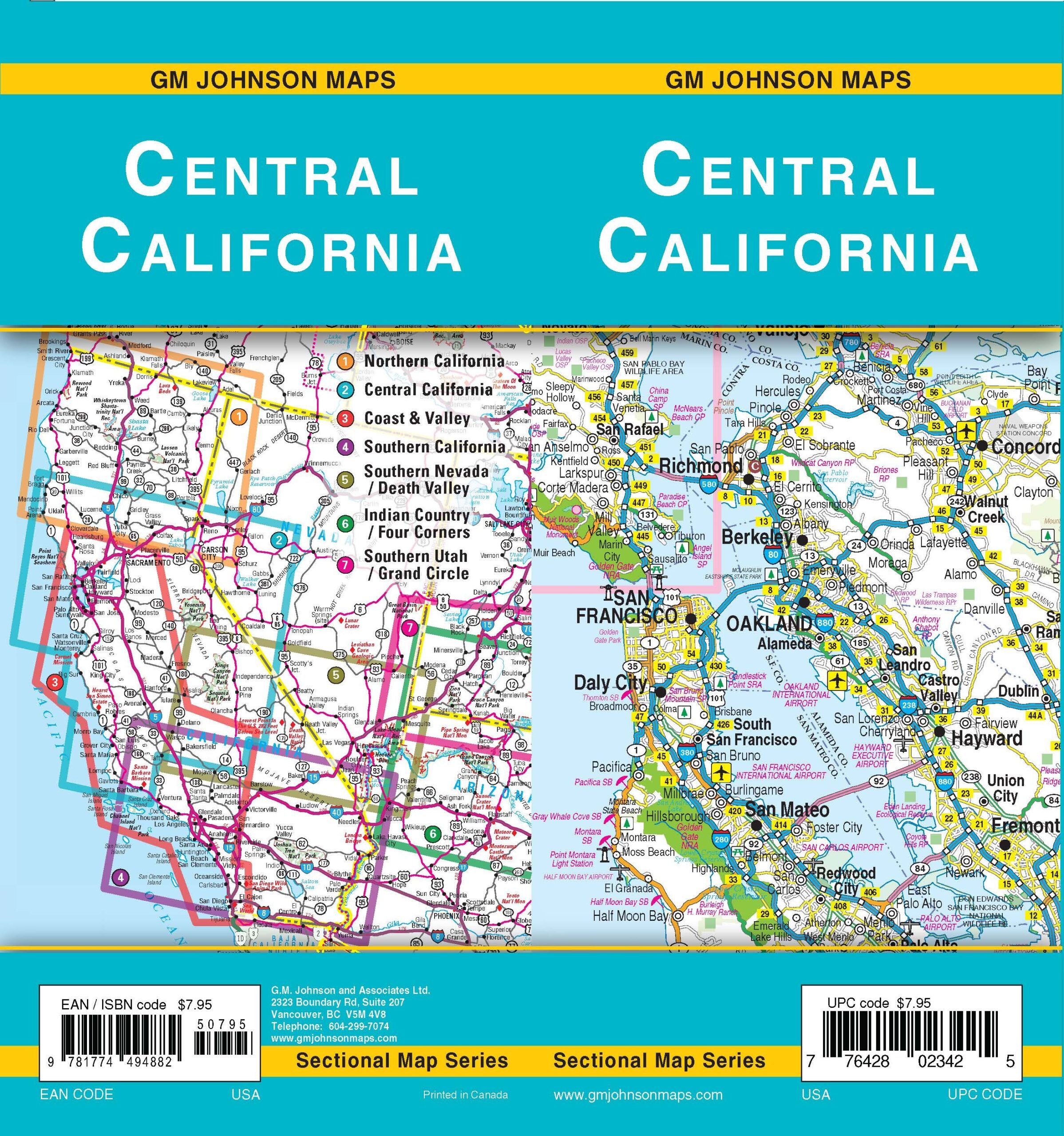
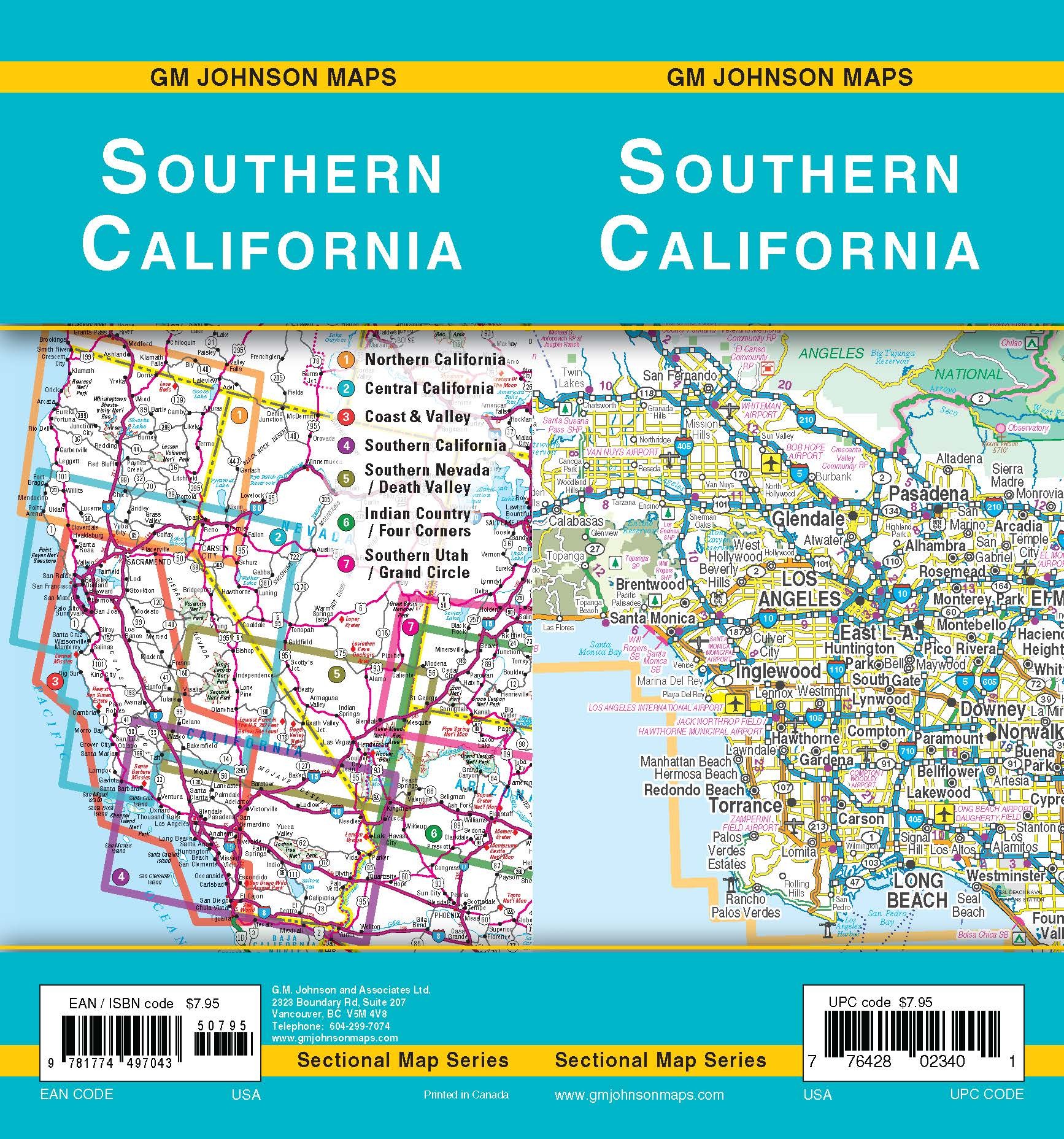
7. New California Sectional Maps:
We have completed 5 out of 7 of the following maps. The scale of these sectional maps is 1:570 000 or approximately 1”=9 miles.
Southern Nevada – Death Valley Area California Nevada Sectional Map
Northern California (Sectional), California Sectional Map
Central California (Sectional), California Sectional Map
Southern California (Sectional), California Sectional Map
8. New City Street Maps:
The following maps are all new publications, did not exist before from GM Johnson.
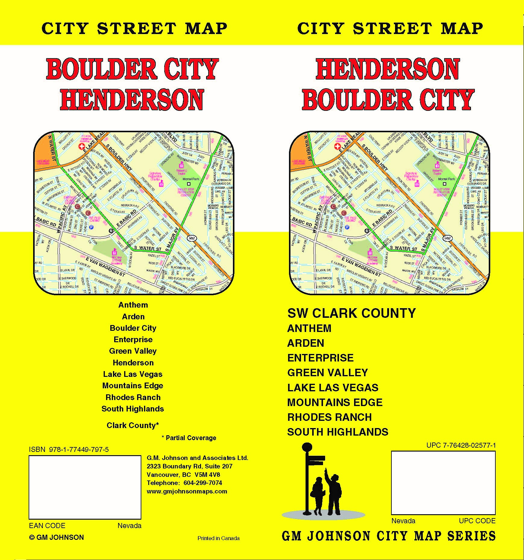
Henderson / Boulder City / SW Clark County, Nevada Street Map
Las Vegas, North\The Strip, Nevada Street Map
Lehigh Valley / Allentown / Bethlehem / Easton, Pennsylvania Street Map
9. New Regional Maps:
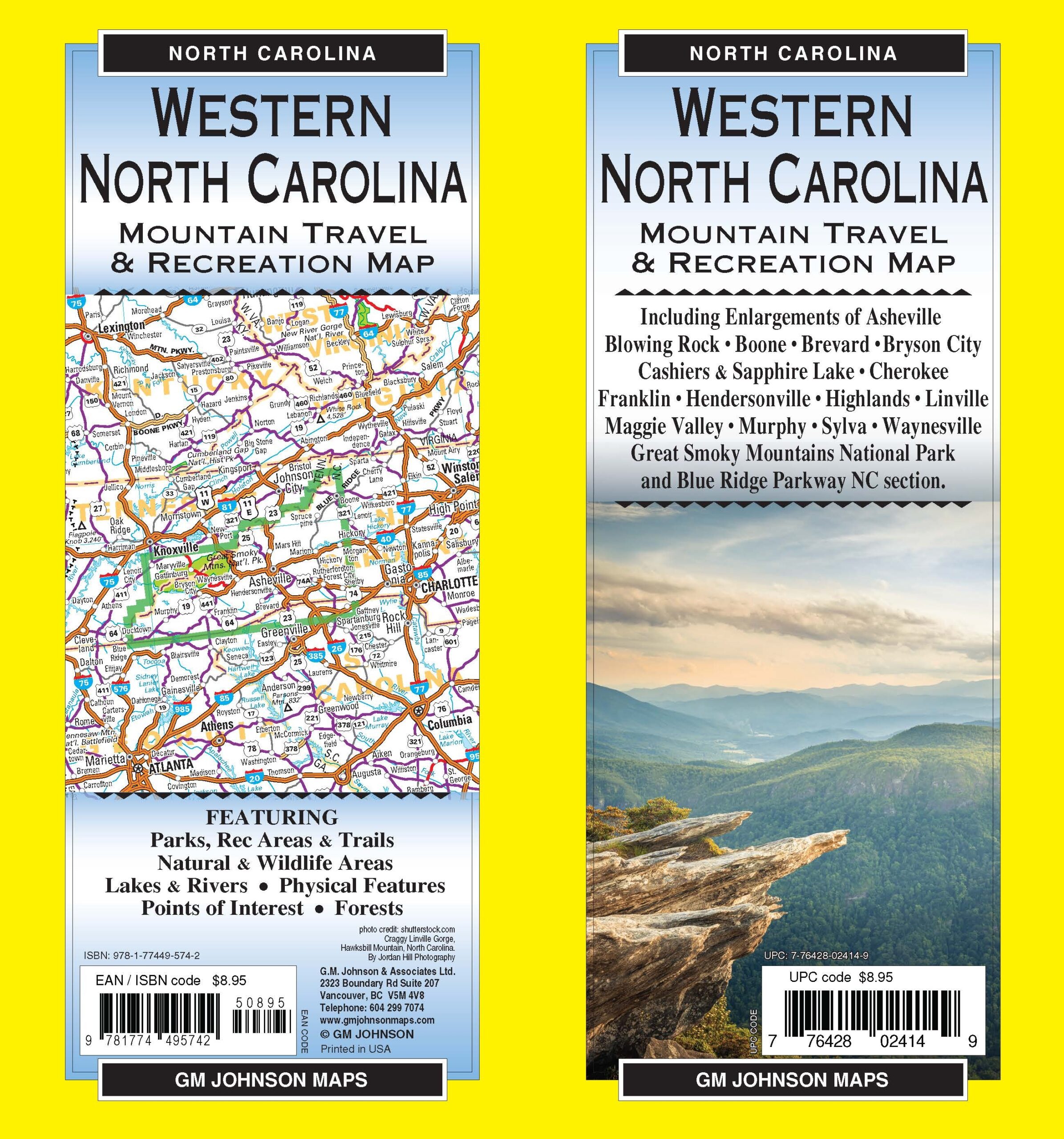
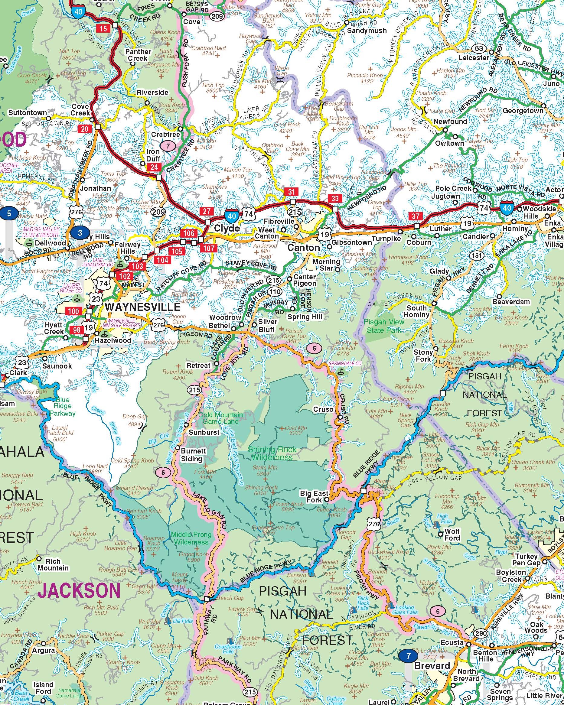
A map distributor in Western North Carolina asked us to build this map. Another map publisher produced this map many years ago, but went out of business. The scale of the map is 1:256 000 or 1”=4 miles with enlargement 1:36 000 or 1”=0.5 mile approximately.
10. Closing Comment.
With more closures of competing map publishers in these economic times, we have been able to expand and grow our brands. We would like to thank all our customers, suppliers and employees for their continued support. Some people say we will be one of the last ones standing.
The end.